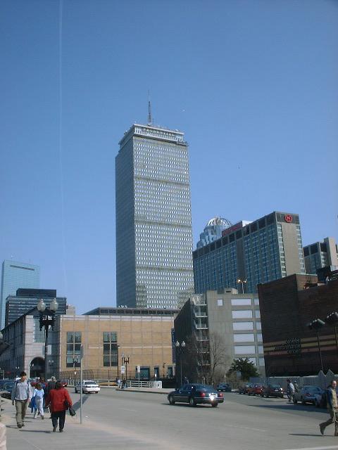
Tuesday, March 25, 2003. 1pm. I hopped off the 'T' at the Hynes Convention Center stop with every intention of conquering the Prudential SkyWalk. The weather was finally premium on a Tuesday. I didn't expect the second half of the gallery, but I'm getting ahead of myself.
The SkyWalk is 50 floors up on a building that I can see from the BC campus, so I had every intention of finding BC. Two floors up, and on the top floor is Top Of The Hub, a very nice restaurant, but too expensive for me. I was finally going to get the pictures I had waited all year to take.
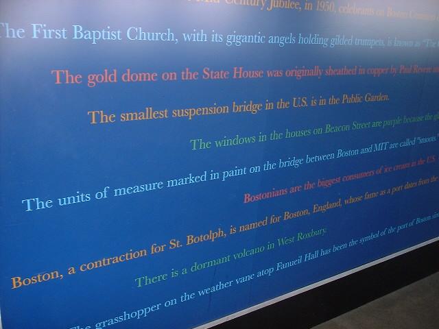
Ah, my favorite, useless facts. When am I going to need to know that there is a dormant volcano under West Roxbury? Like I said, useless facts.
So I decided a 'method to the madness' would be good for this gallery. I rearranged the order of these pictures so that they start facing towards BC and continue around the building. Here, in the lower right is the BU 'campus.' Perhaps Comm. Ave. U. is more appropriate. Sucks to BU. *wink*
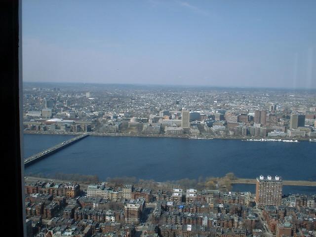
Now if you look out there you can see this water area. That's the reservoir next to the BC campus. It took me a couple minutes to find this and the campus with my binoculars. And sure enough, with binoculars, Gasson Hall sticks out from the rest of the landscape, but it's almost impossible to see from Back Bay.
Here is essentially the same photo much larger, perhaps you can interpret one of the color smudges as Gasson, but it's all but impossible to discern.
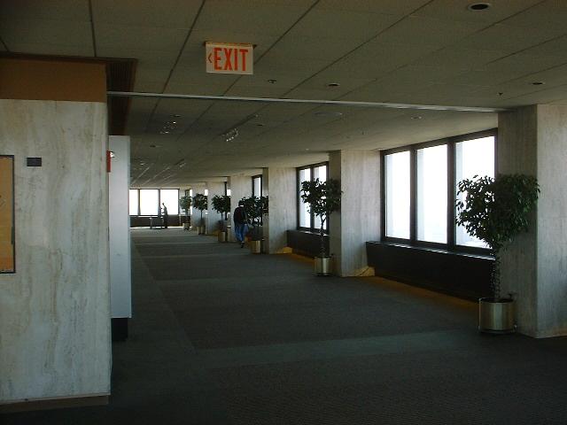
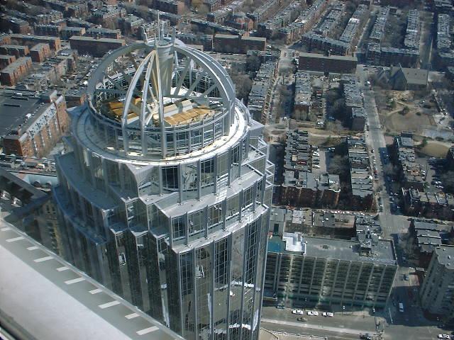
In all actuality, the Prudential building isn't all that large. I am standing against one window, so this should give you the idea of it's internal size.
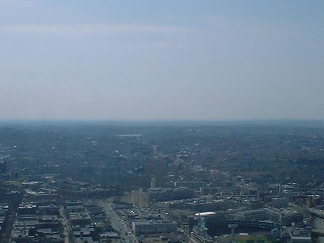
Below, you see the Christian Science Center, somewhere down there is the Mapparium. But that is for another day.
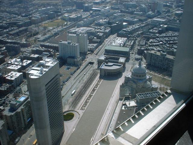
Here is the top of the building next to the Prudential tower. It looks a little different from the top down.
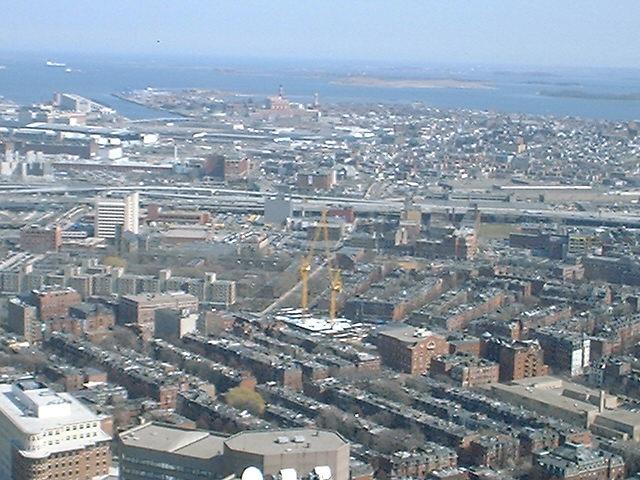
I thought it looked like these cranes looked like they were fighting, but in fact they were just spinning in opposite directions. Maybe I've had too much caffeine.
Here we have the buildings to the 'right' side of the Hancock tower. They had an observation deck on their 60th floor, but after September 11th, decided to close it off, so the Prudential is the only deck left this high.
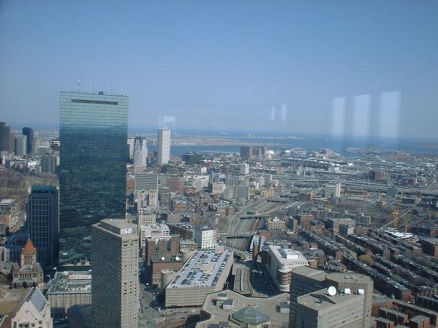
Here are the buildings on the 'left' side of the Hancock tower, all being relative of course. These buildings are the actual downtown Boston area, as opposed to Back Bay, or the financial district.
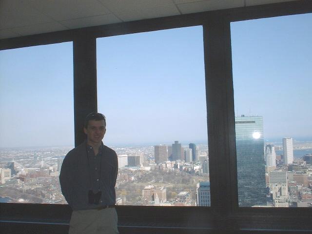
I had some nice lady take a picture of me with Boston in the background. Not enough light, but a little touching up would fix that.
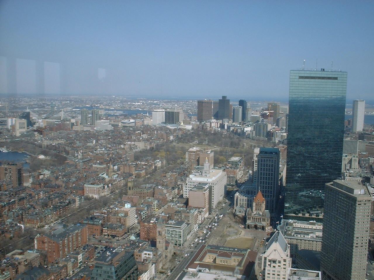
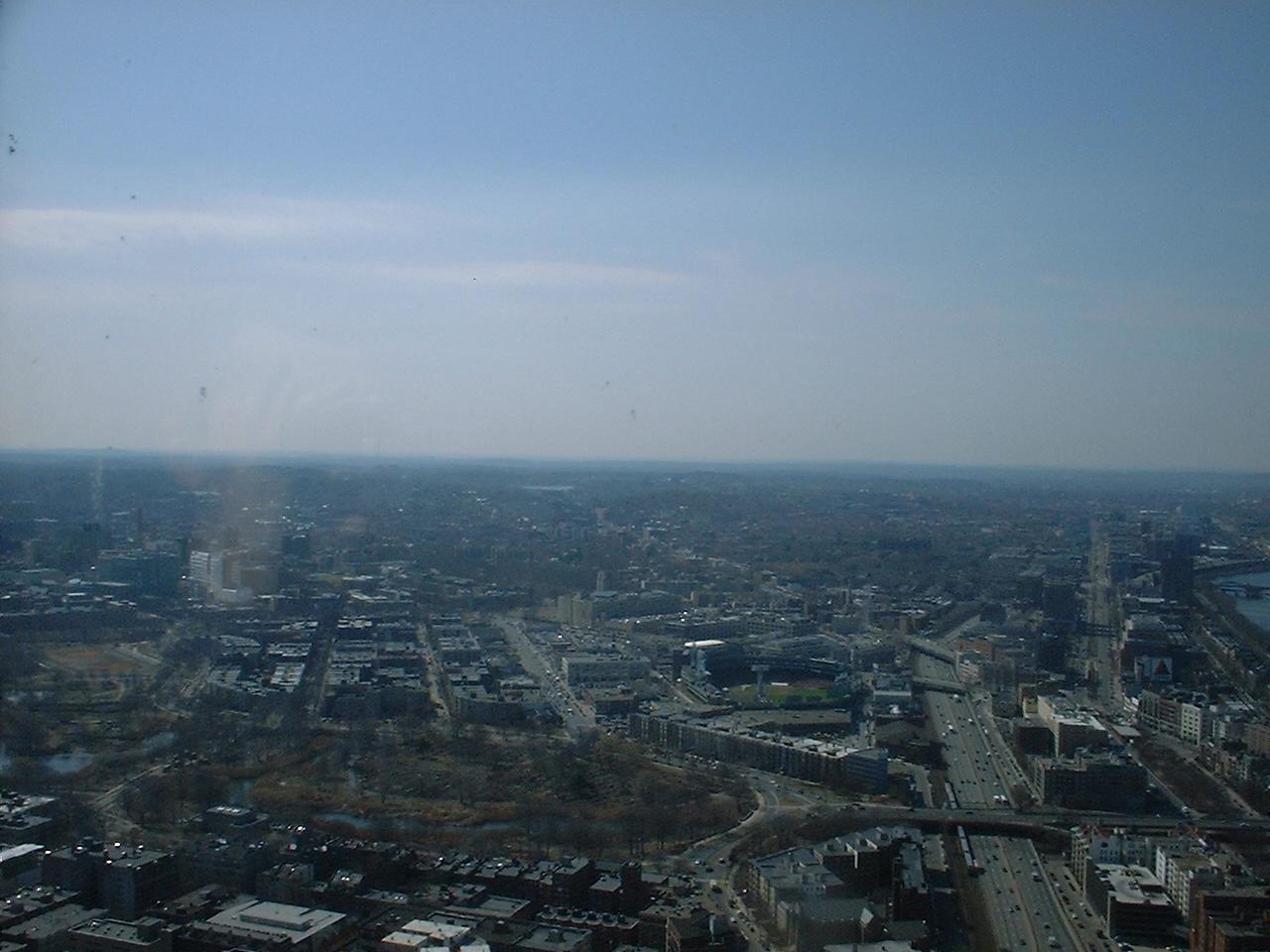
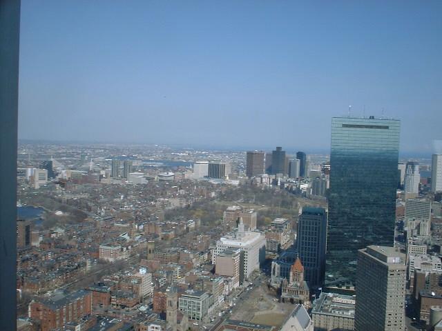
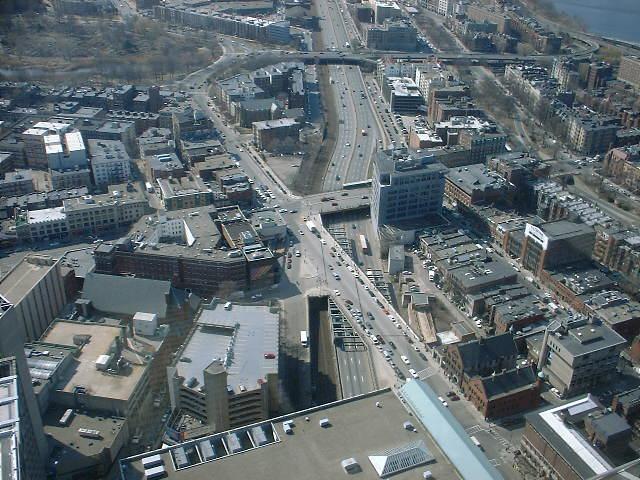
Here is a huge view of Boston's downtown. I made this one into my desktop when I was building this gallery.
The people at Lord and Taylor realized that people would be looking down on their building, so they put their logo on their roof. Rather interesting, rather interesting.
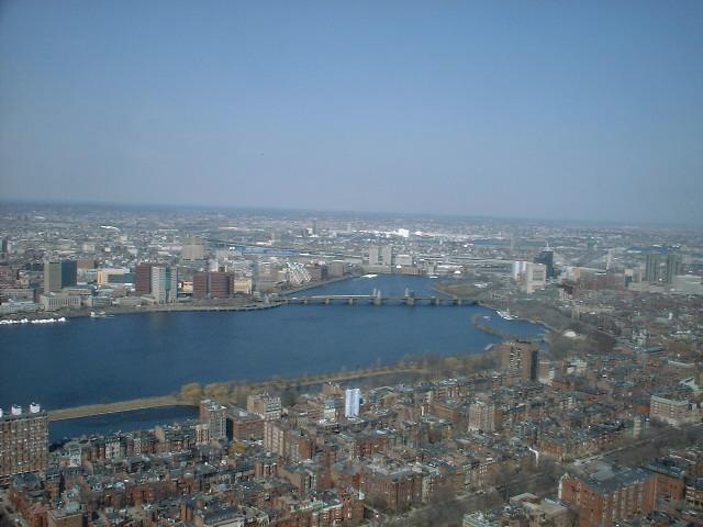
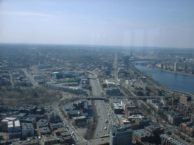
The Longfellow bridge has a track for the Red Line, and here you can see a train crossing the bridge before heading back underground. Also, you see the Science Center built on the Charles River Dam. In the background you might be able to see the Bunker Hill monument, but that's not until later.
Continuing around, on the 3rd side, we find MIT. Oh, and the bridge on the left side of the picture, as noted above in the useless facts, is measured in 'smoots.' I have walked the bridge so I can verify this claim.
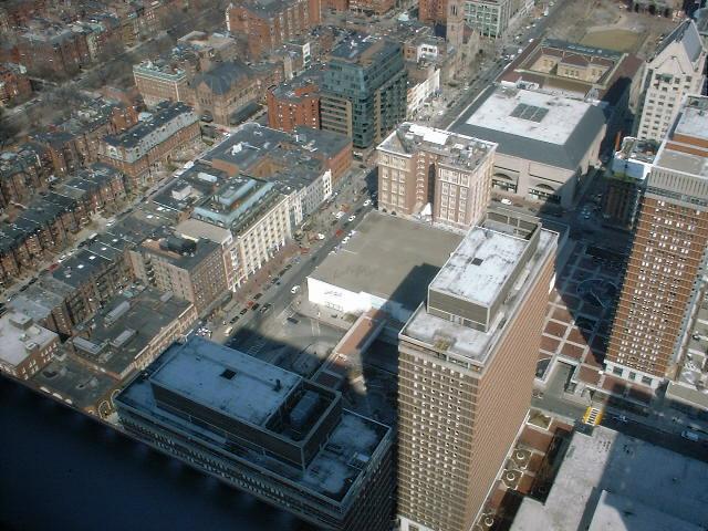
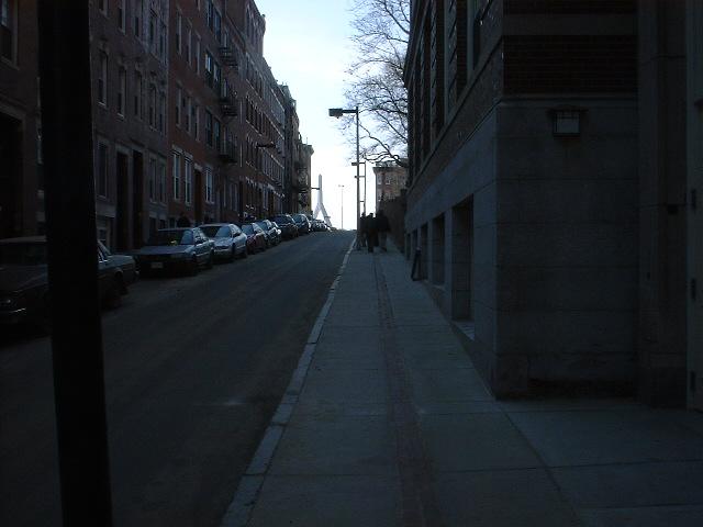
Returning to the side we started on, we now are looking down on the exact street corner I took the first picture from. I thought this would be an interesting way to wrap up this part of my journey. I wanted to get out after the fire alarm started going off, and they were threatening an emergency evacuation for 5 minutes, but after a visit from the Boston Fire Department, decided that there was nothing to fear. I still wanted out.
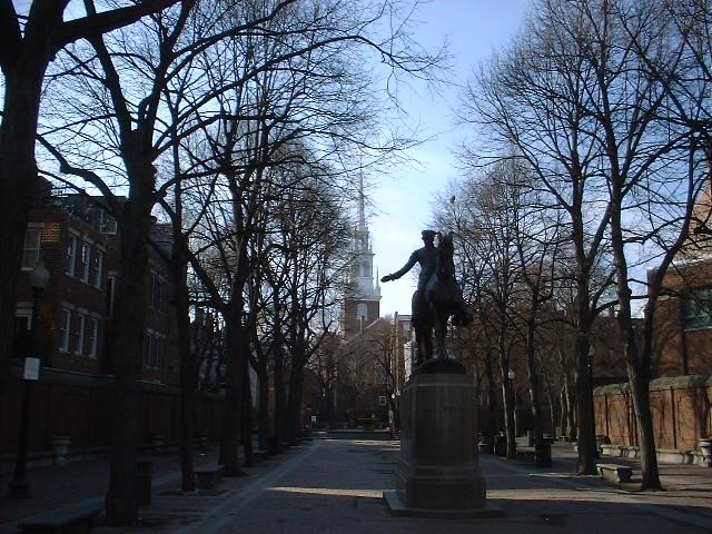
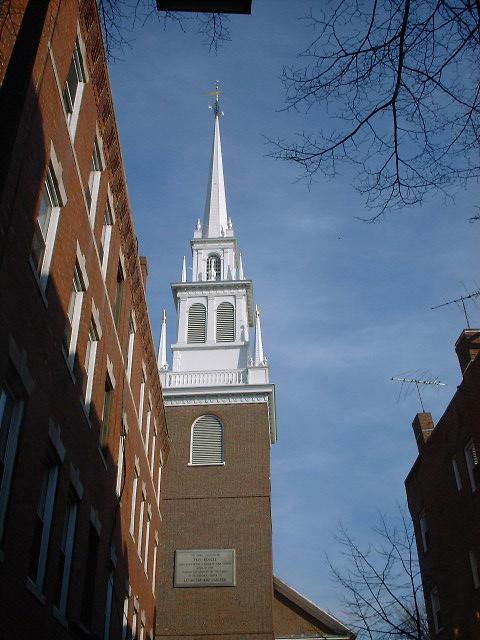
I hopped on the Orange Line at Back Bay, rode it up to Haymarket after making the decision to do the north part of the Freedom Trail, since it was only 3pm when I was done at the Prudential. At Haymarket I hopped on the Freedom Trail and soon found myself at the statue of Paul Revere. In the background is the North Church.
As the plaque notes, this is the place where Paul Revere's 'one if by land, two if by sea' ride started.
I just followed the Freedom Trail, i.e. bricks set into the sidewalk to my destinations.
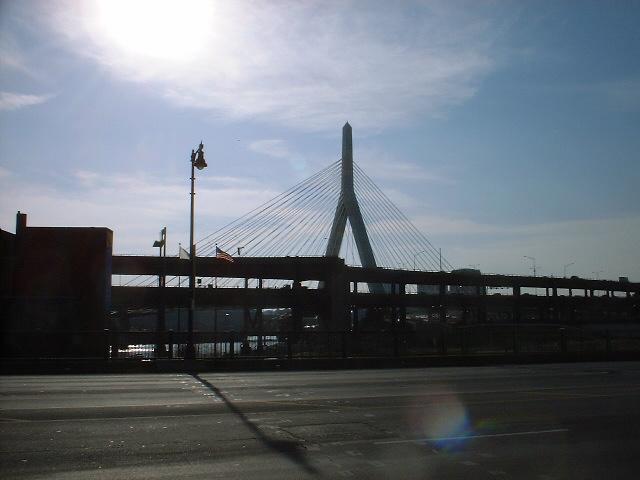
Here is the old double-decker bridge in front of the new bridge for I-93.
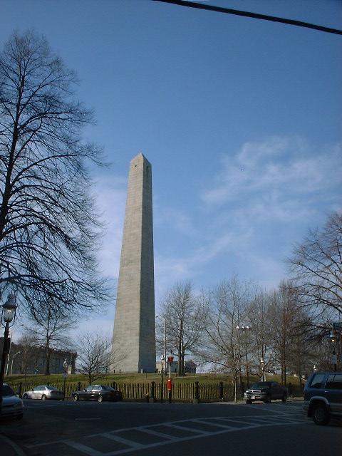
Here's my first stop north. The Bunker Hill monument (which actually is on Breed's Hill), commemorating the Battle of Bunker Hill (which was actually fought on Breed's Hill).

The sign tells you that it's 296 stairs to the top. On the other hand it's a free exercise experience.
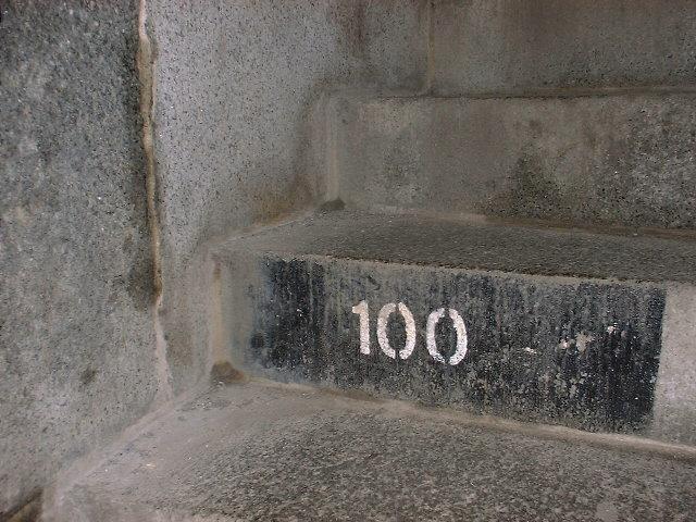
They number the stairs every 25 or 50 depending on how high you get. It's a long way up.
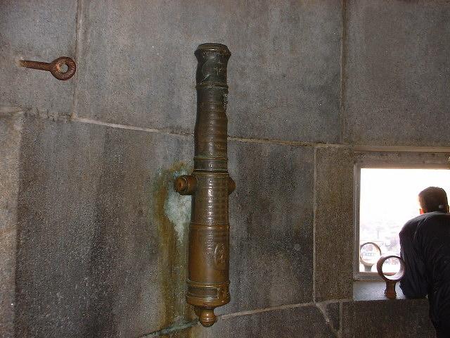
There is a cannon and what I'm assuming are cannon holding rings up top.
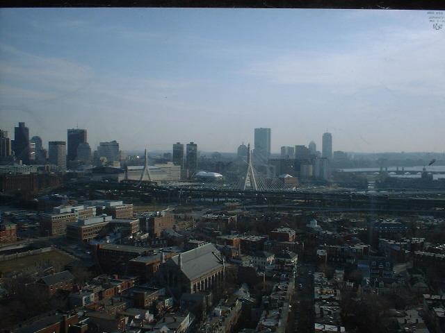
Here we are looking towards Back Bay and the tower all the way to the right is the Prudential building where this whole experience started.
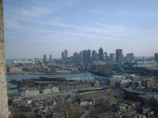
Here's downtown Boston as seen from the top of the Bunker Hill monument.
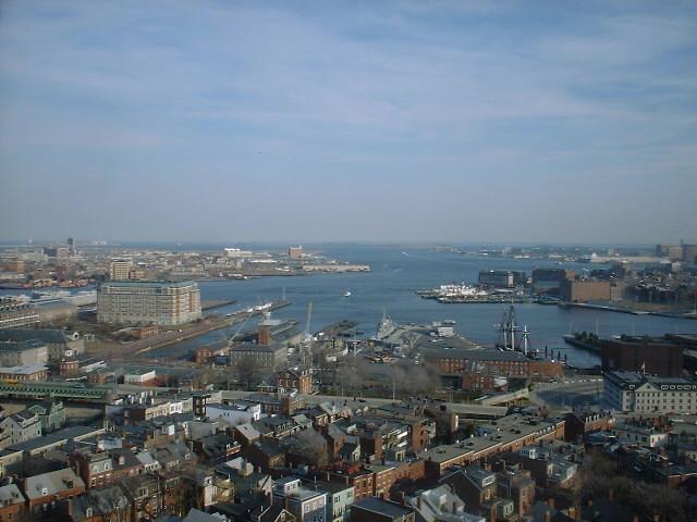
Here we're looking down on the docks where Old Ironsides and a WWII ship. That's where we're headed next.
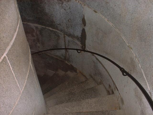
This is what I saw for 3 minutes to get out of the monument.
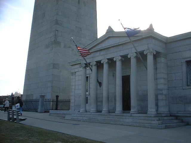
They have a cool little information building at the base of the monument. The monument is on the left side.
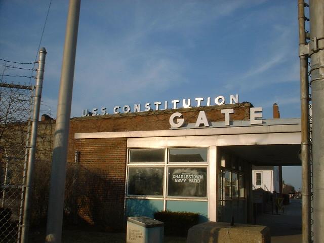
Arriving at the docks.
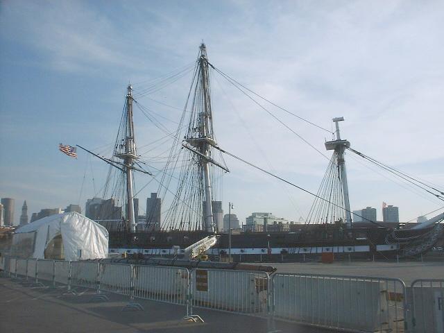
Here we see 'Old Ironsides' or the USS Constitution.
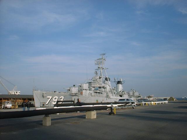
On the other side of this peer is the USS Cassin Young, a dry-docked WWII ship.
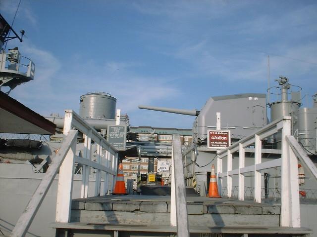
The signs remind you that the ship hasn't been reconfigured for tourists, so watch out.
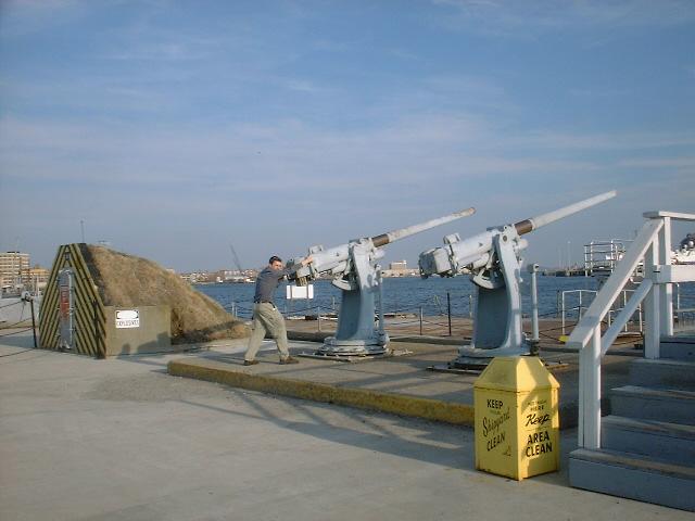
Don't worry, if anyone tries another hijacking, I'll take them out before they can do any damage. Grr.
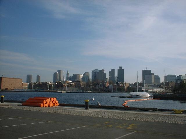
Looking across the River, we'll finish this gallery with one final shot of downtown Boston.